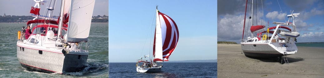
We left the Eider through the vast Eider Sperrwerk. Once clear of the narrow approach channels, we had a good passage down to the Friesian Islands in stiff westerlies force 5-7. With two reefs in the mainsail and the stay sail it was a manageable, if tiring, 60nm. We had to cross the shipping lanes into Hamburg, Bremerhaven and Wilhelmshaven.
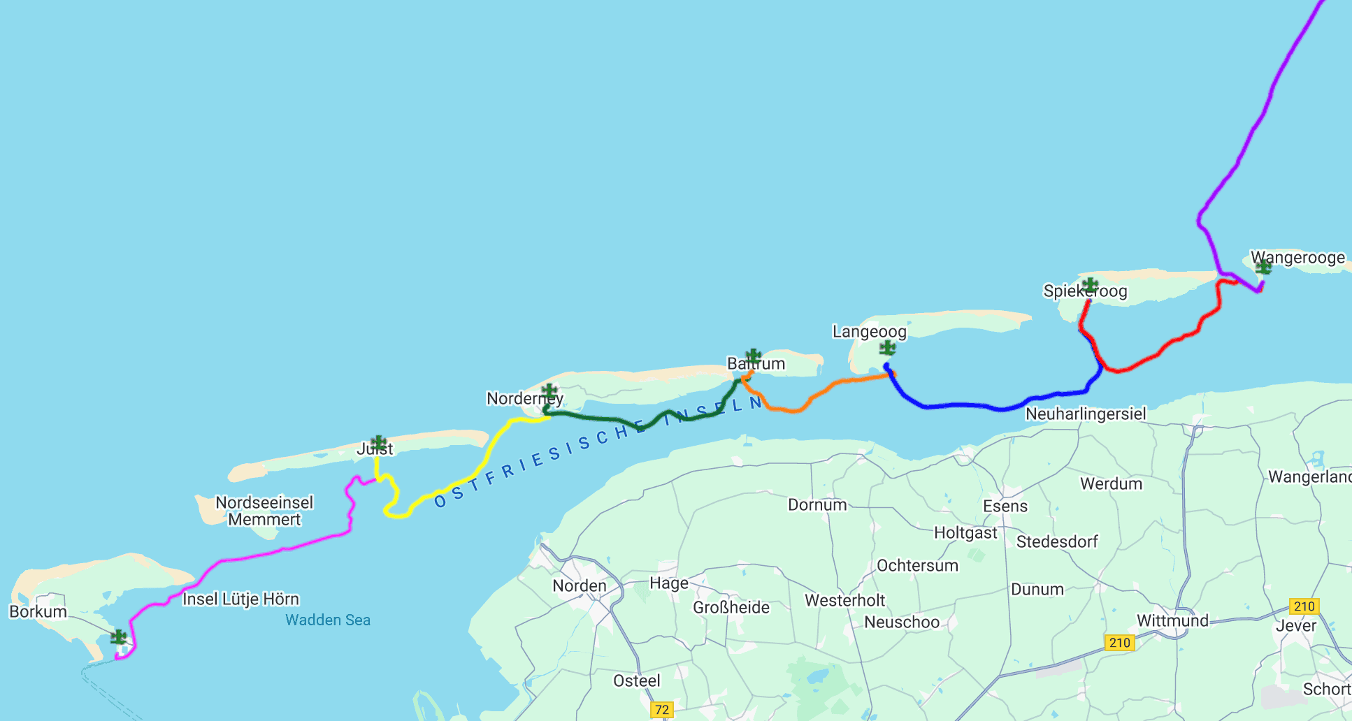
The Frisian Islands
The thirty-two Frisian Islands are, basically, a line of mostly inhabited sand dunes off the coasts of Denmark, Germany and The Netherlands. The Northsea-facing sides provide vast sandy beaches, while the inner sides face the mostly drying Watt (German) or wad (Dutch) and are marshy. In between the islands are gaps (Gatten), through which the sea pours in and out with the tide.
Navigating the Gatten has to be done on the last of the flow in or first out as appropriate. So moving from one island to the next requires leaving on the first of the ebb and hanging around outside until the last of the flood into the next Gat. For shallow-draft boats, the alternative is to pass inside over the drying Watt at high water.
Wangeroog
We arrived from the Eider in Wangeroog, the easternmost of the inhabited German islands.
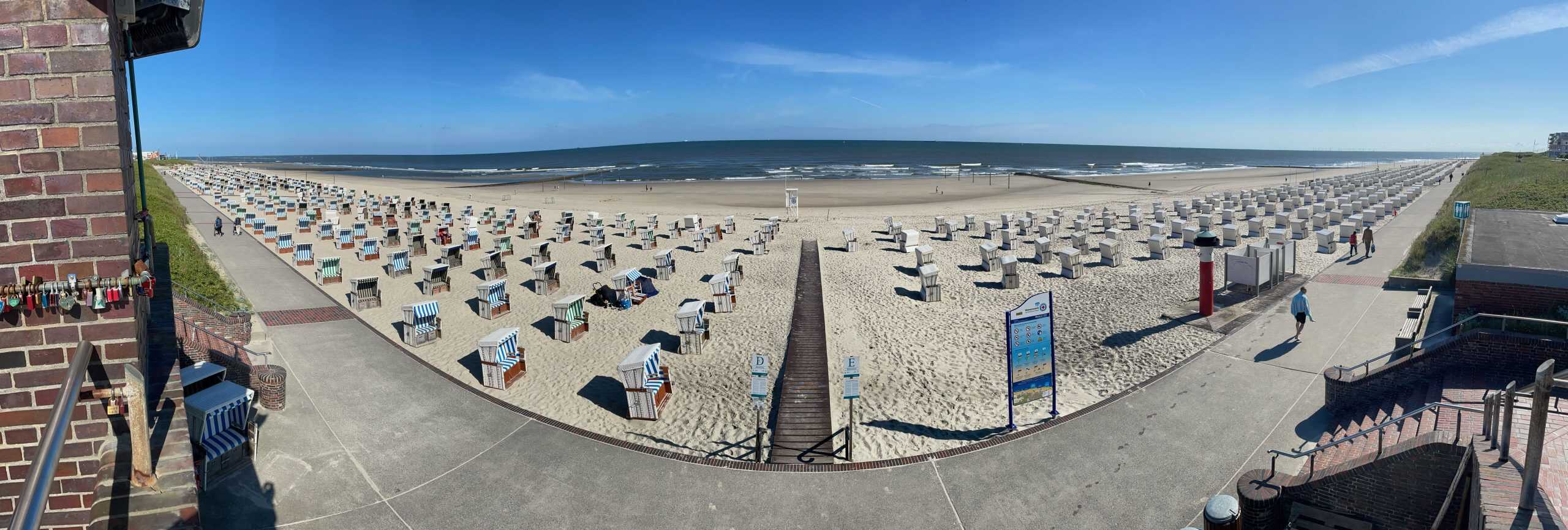
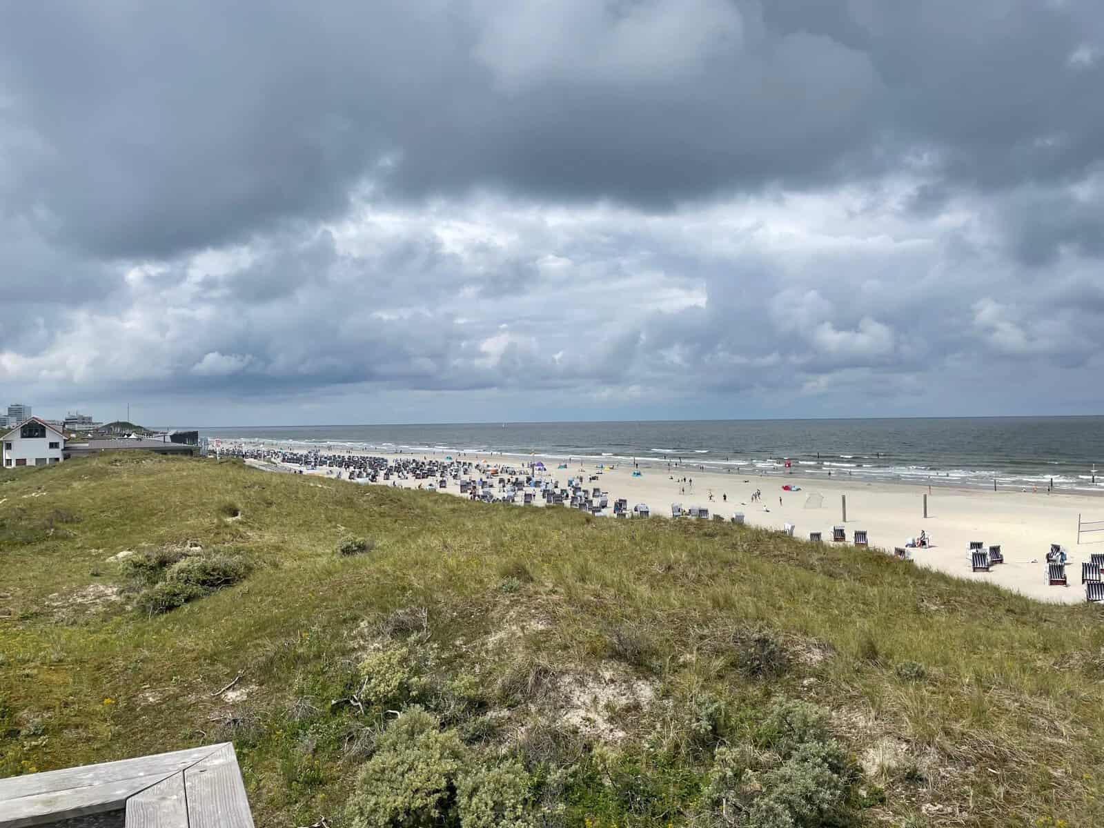
Wangeroog is one of the oldest German sea bathing resorts, dating from 1804, attracting upper-middle-class visitors taking the Kur of sea bathing and fresh air. These days, many Germans can take a Kur under their health insurance arrangements. The beach at the island’s town is studded with Strandkorben – the traditional beach chairs. These are much more substantial than deck chairs, providing shelter from the inevitable winds. They have built in pockets and cupboards in which to store sun cream, cold beers, cigarettes and other essentials for a Kur.
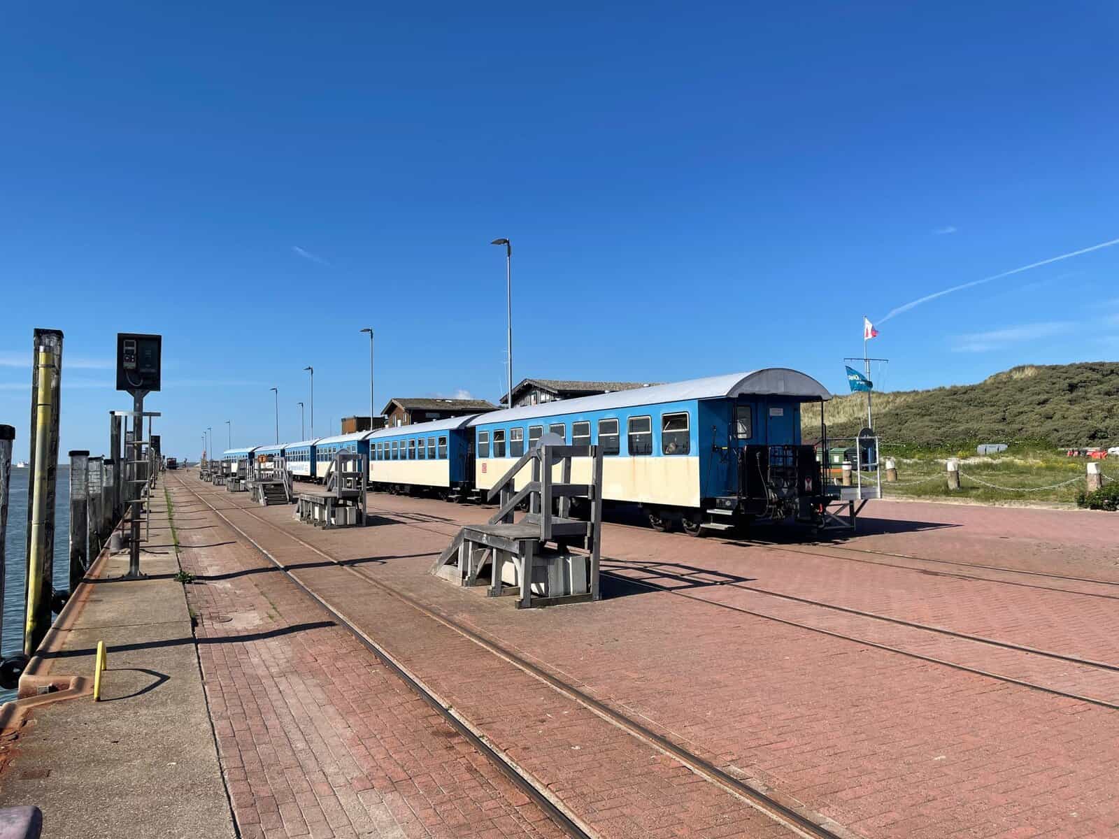
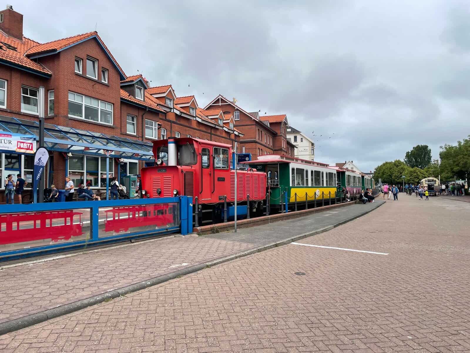
The island is car-free, apart from a few battery-powered service vehicles. This makes for a very relaxed atmosphere. The port is 5.9km from the town, which is connected by a narrow gauge (1m) railway, now operated by Deutsche Bahn. Passenger trains connect with the passenger ferry and a flatbed goods train carries small containers to the goods ferry. All the supplies and returns for the substantial town are thus transported.
The times of the ferries are dictated by the tide and, hence, so is the timetable for the trains. This is complicated as sections of the track are laid over the marshes, which flood at high water springs coinciding with the ferry times.
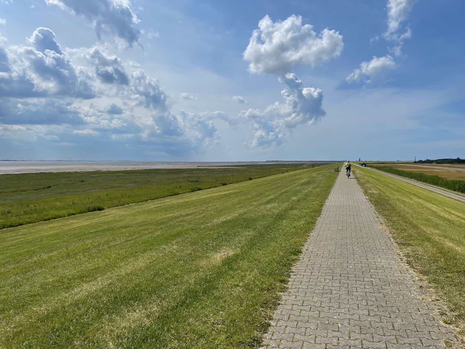
We cycled into town and later further east. We retuned along the dyke with magnificent views over the Watt.
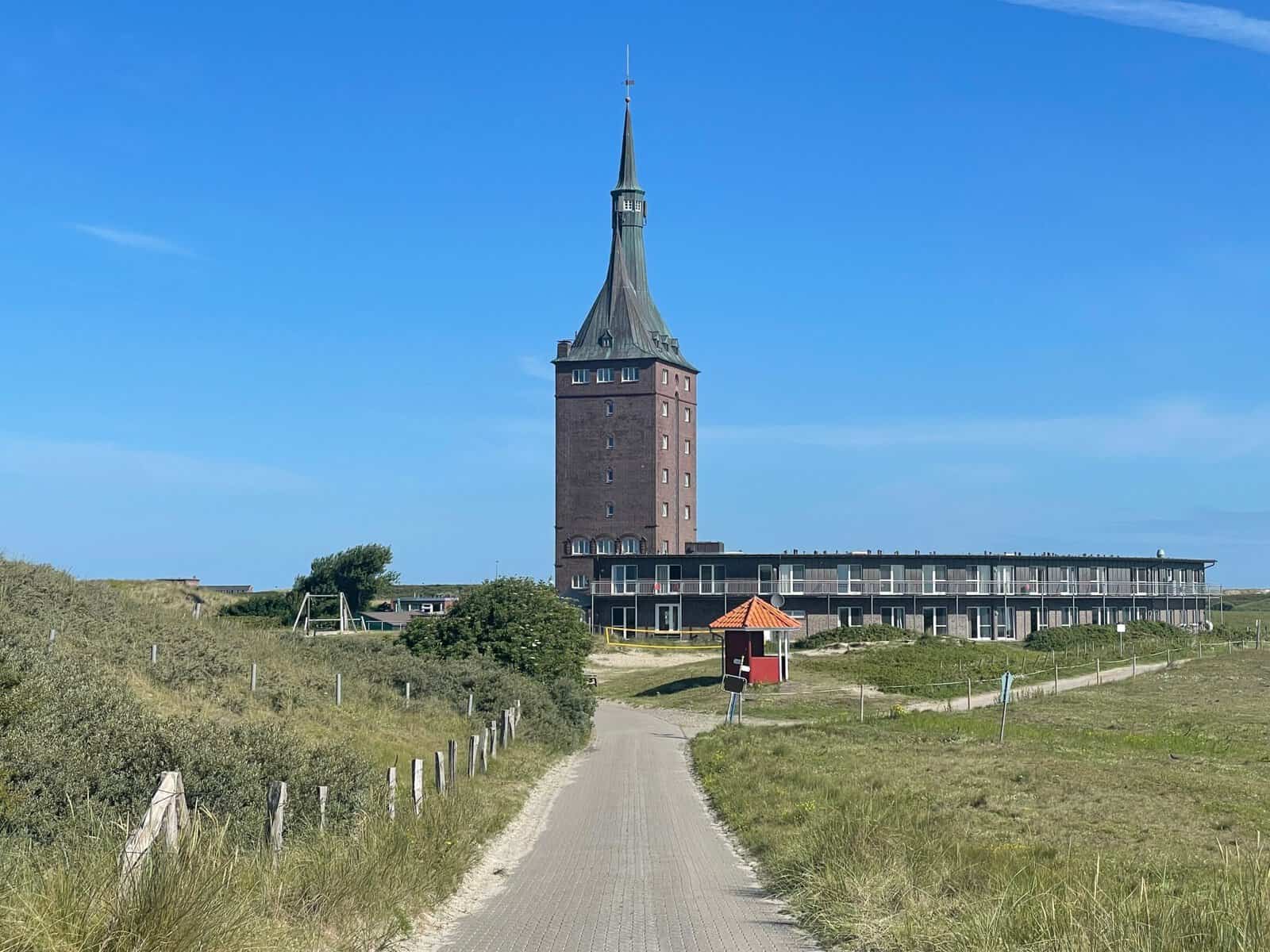
Until sea defences were built, the islands , were constantly shifting eastwards. In the last 300 years, the 8.5km long Wangeroog has shifted its entire length. The water tower at the west end was originally at the east end!
Spiekeroog
From Wangeroog we passed over the Watt to the next island of Spiekeroog.
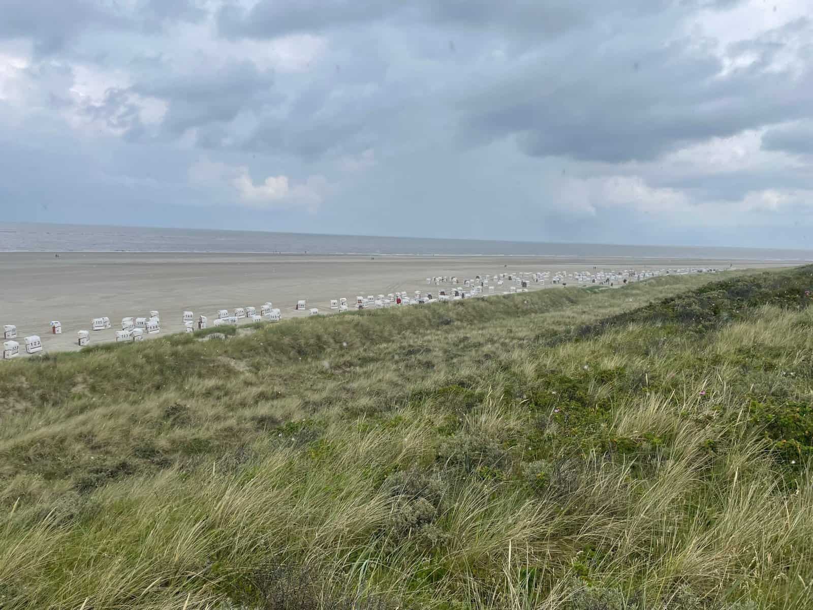
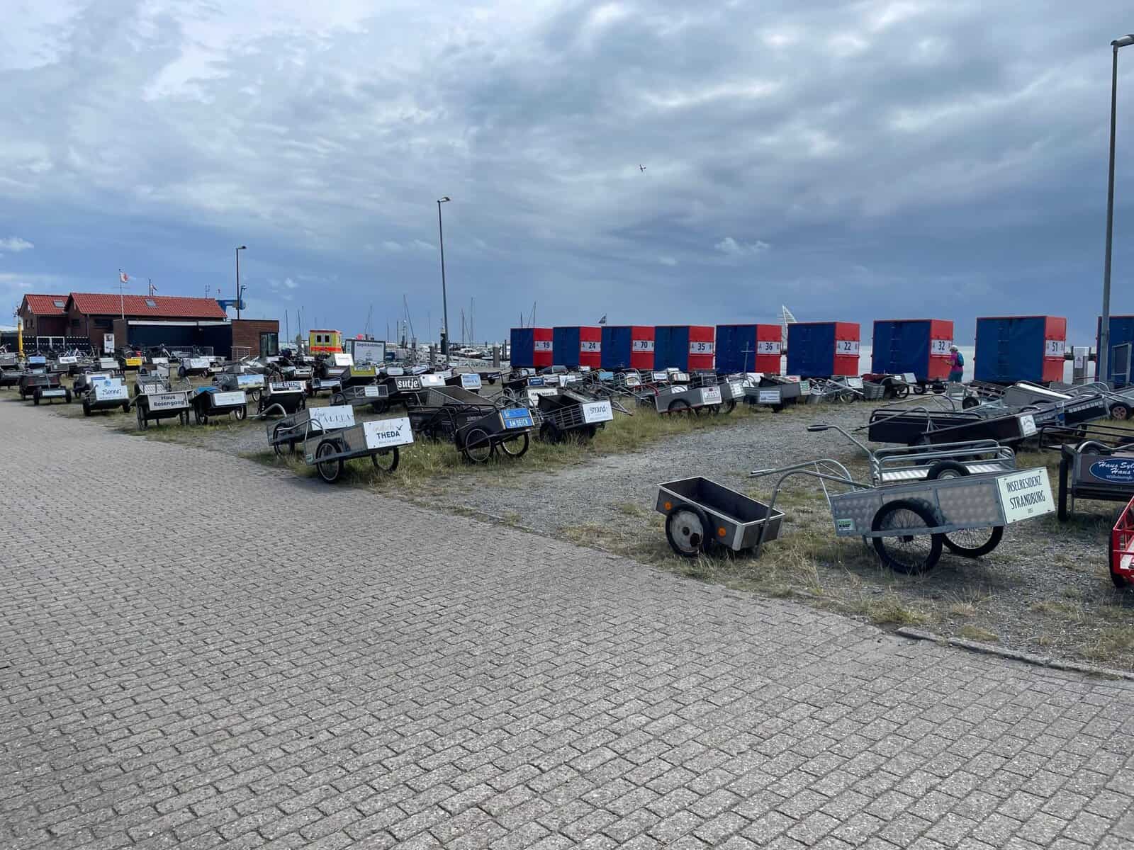
Spiekeroog is another resort island with long sandy beaches. It is also car-free. Outside the supermarket there is no car park – just bikes and the handcarts that people use to move goods around.
We found a particularly good bakery that, as well as making delicious cakes, roasts and grinds its own coffee. We walked it off along the paved path overlooking the beach.
Langeoog
We had a good passage almost all under sail over the Watt to Langeoog.
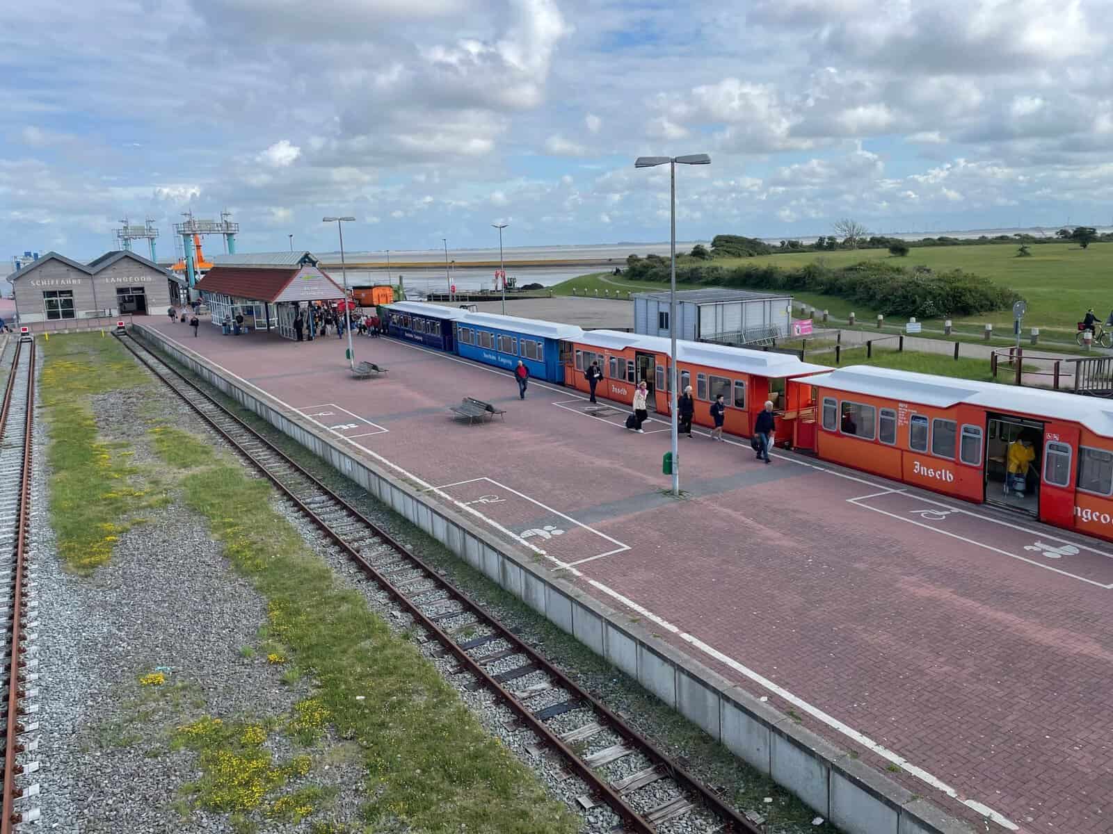
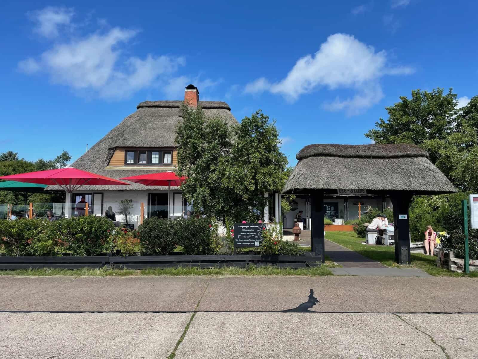
During the Nazi era it was an air base and has significant infrastructure. There is a large harbour (now mostly silted up) and wide brick roads between the town and harbour, which are 2.5km apart. The only combustion-engine vehicles allowed are the ambulance, the fire truck and rubbish collectors and there are a couple of electric delivery vehicles. Bicycles are crucial and everywhere. Even the police and the doctor are on bicycles. There is a narrow gauge railway running between the town and the port.
All this makes for a very peaceful and relaxed environment, although it is sobering to learn that the infrastructure was largely built with French and Russian prisoner slave labour and that no Russians survived it.
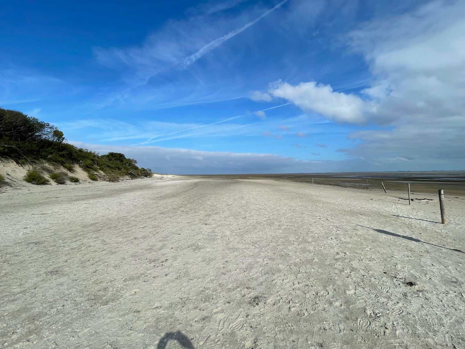
We cycled the 11km to the eastern end of the island, which is a nature reserve with a large number of Greylag geese.
Baltrum
From Langeoog we sailed over the Watt to Baltrum, passing by major works to bring electricity cables across the Watt from offshore wind farms.
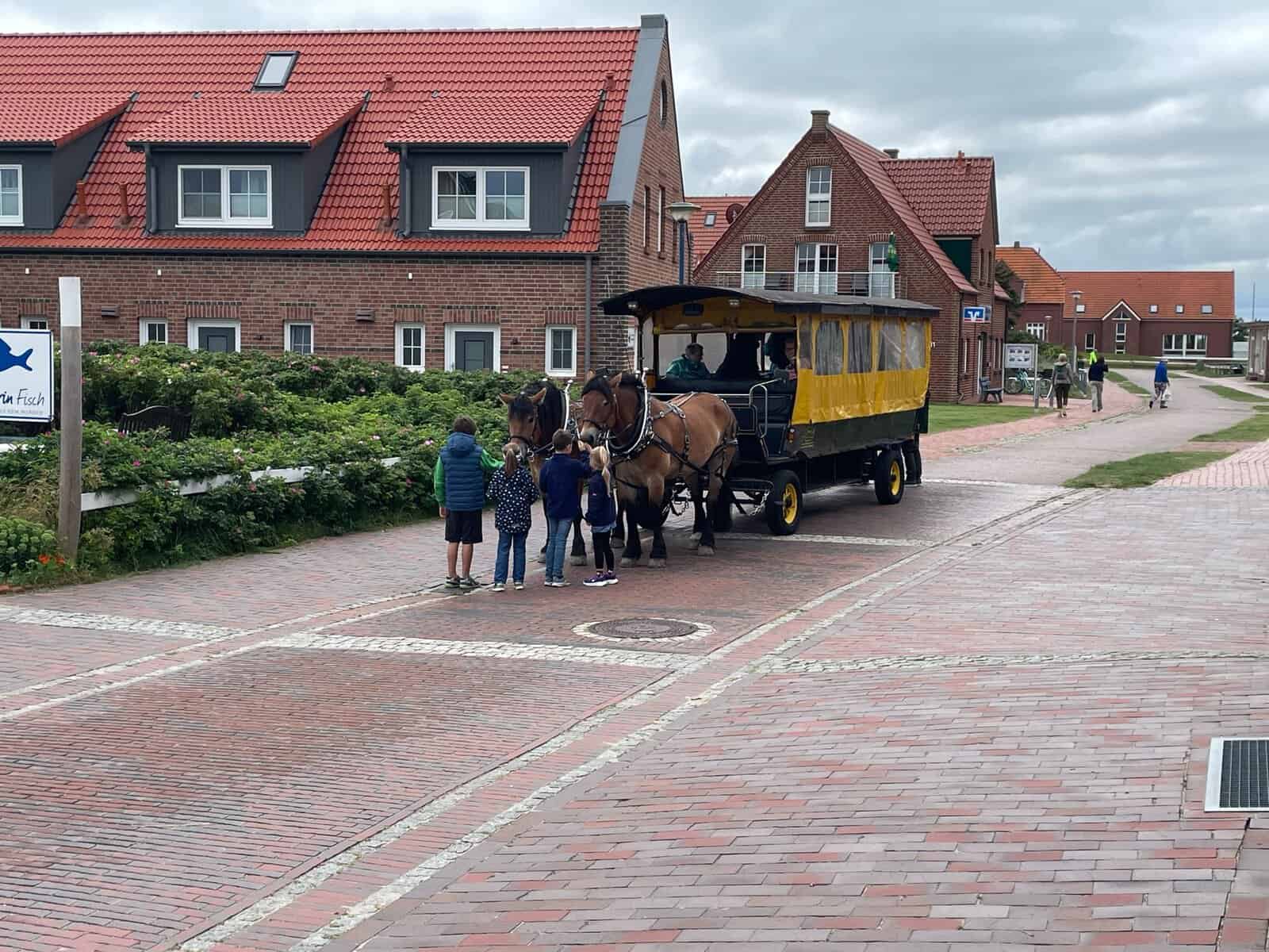
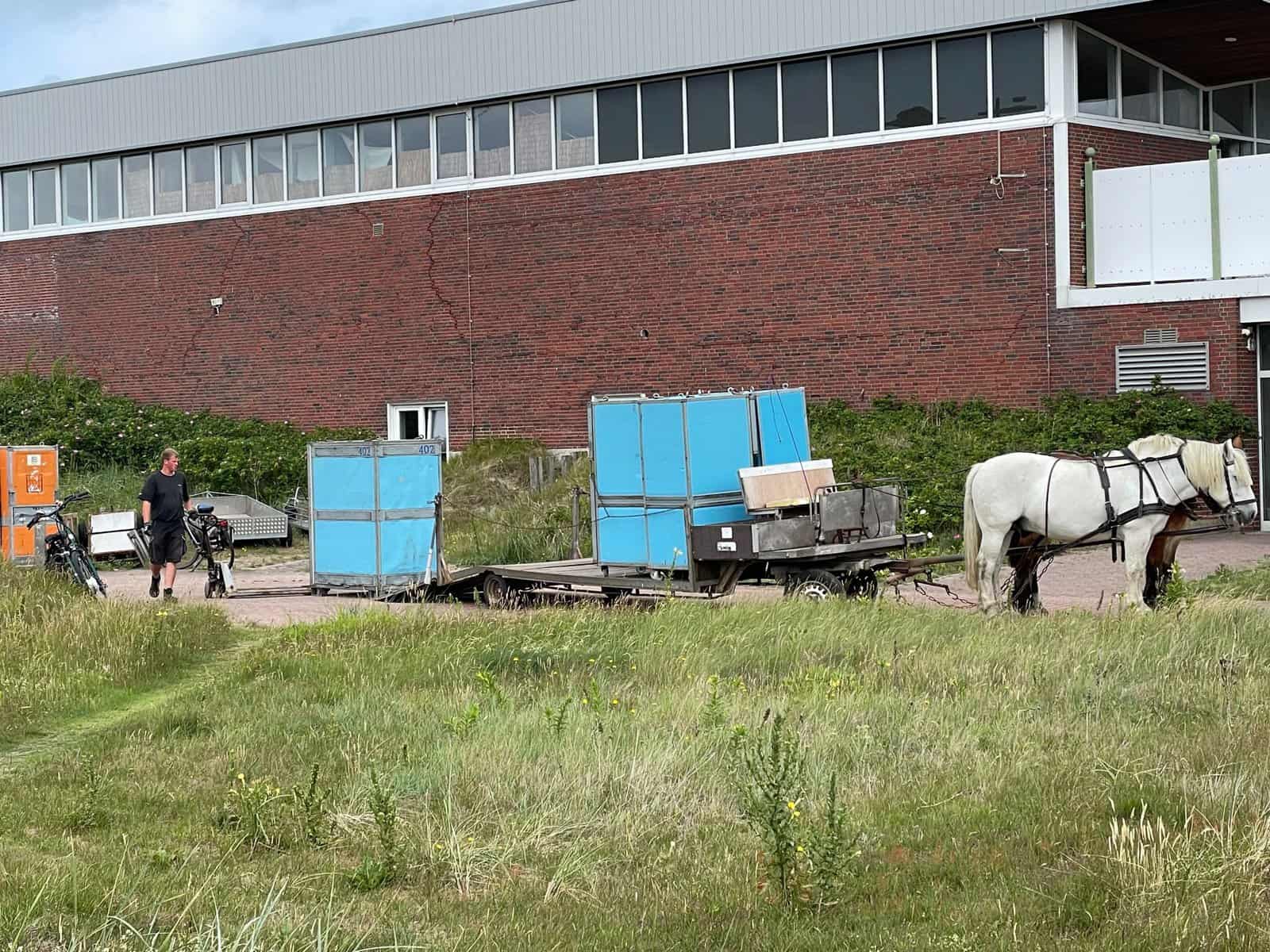
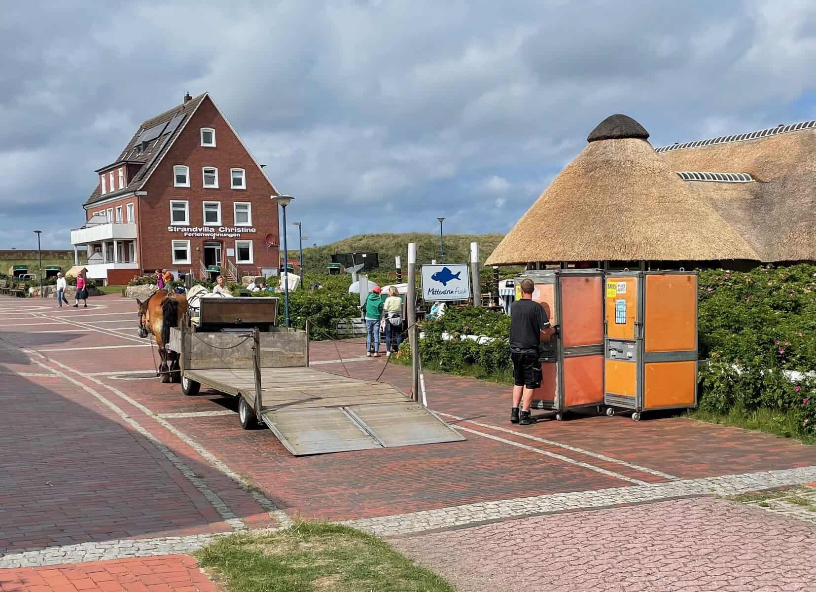
Baltrum is the smallest of the inhabited East Friesian islands. Like the others we have visited so far, there are no cars. We thought they were laid back, but Baltrum takes it a step further. It uses horsepower not just for tourists sight-seeing but for everyday transport, for moving cargo between the port and the two villages and collecting rubbish etc. There is a system of containers which are left outside properties with destination labels and a horse-drawn flatbed trailer moves them as required.
We visited all three interesting churches. The Roman Catholic Church of St Nicholas (Patron Saint of Sailors) is remarkable. This thatched church was build 1956-57 and designed to cope with the huge disparity between winter and summer populations.
The enclosed part for use in winter can seat 50 people, but can open up into the cloister-like atrium with a grass floor and can thus accommodate 300.
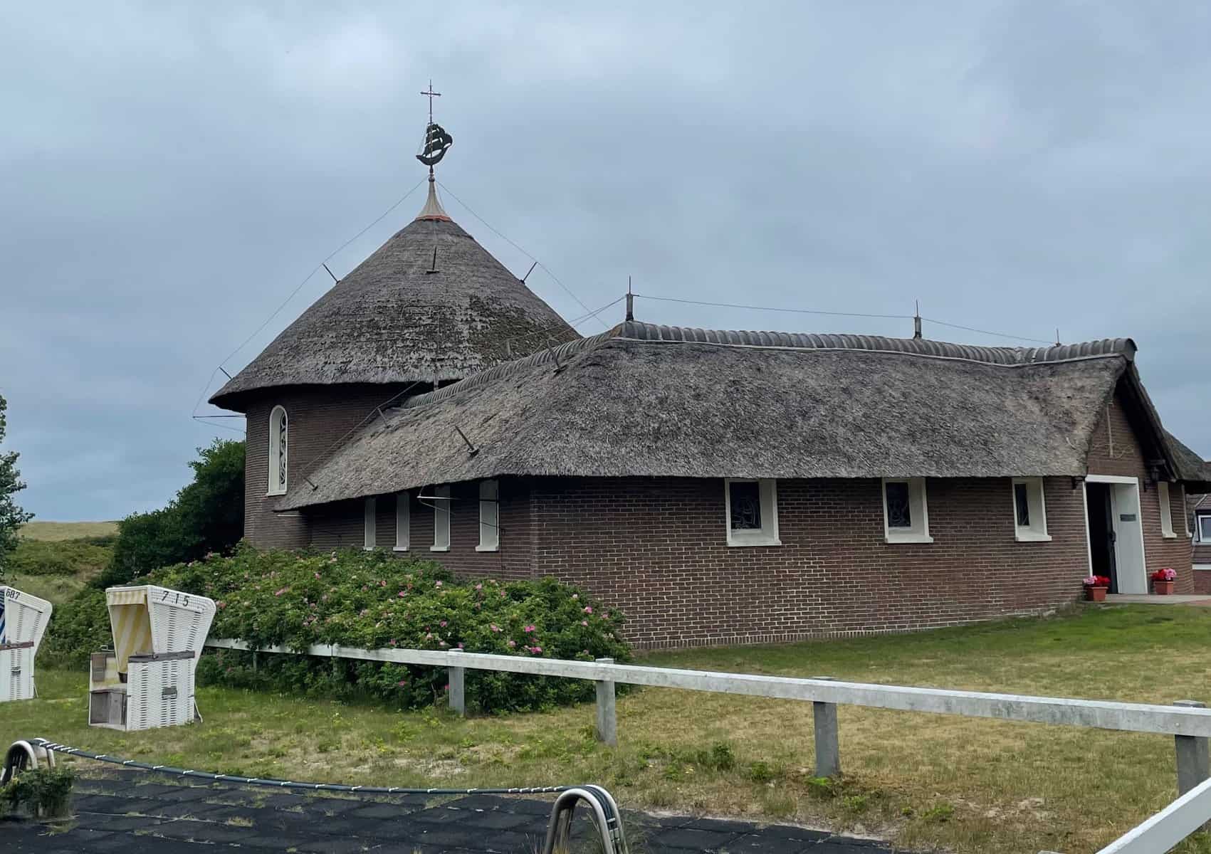
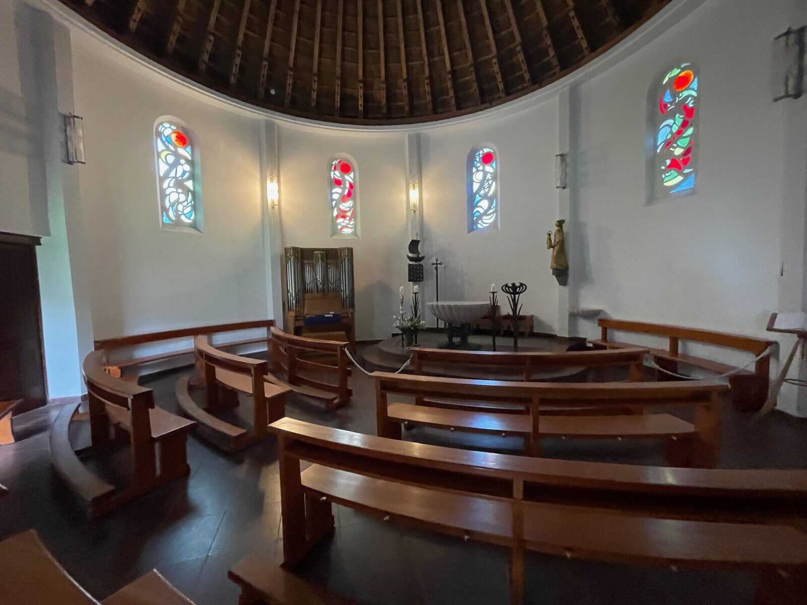
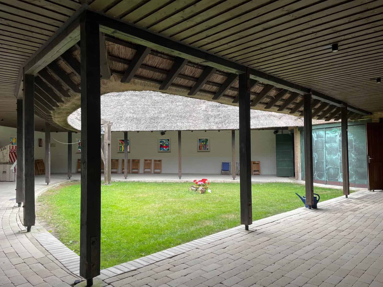
We walked out eastwards, through the dunes and back along the beach. The sand is remarkably fine – almost dust.
Norderney
Another passage across the Watt at high water brought us to Norderney. Norderney is the youngest of the East Friesian islands, formed in the middle of the 16th century. It became the most fashionable resort after Crown Prince Georg of Hannover held court on the island each summer.
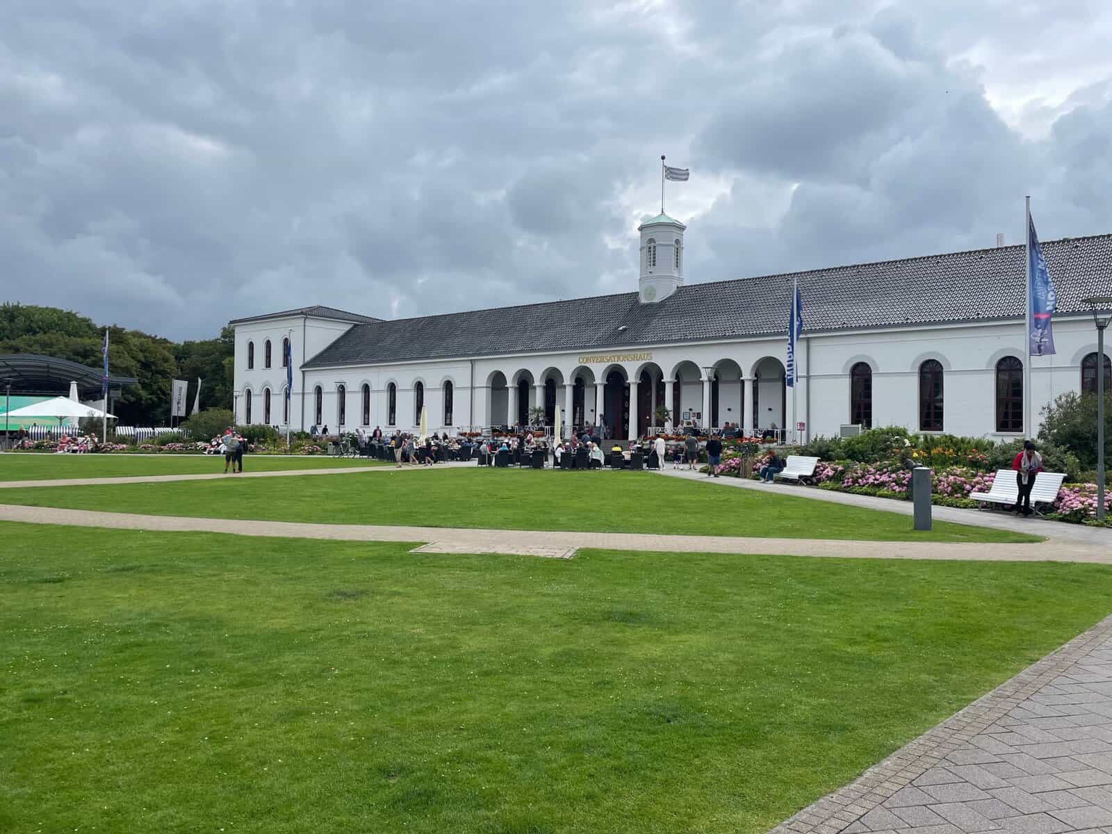
Today it is the most developed of the islands and allows cars. The houses have driveways and garages and the campsites have caravans and campervans. It still holds to its illustrious past. The Kurpark has a bath house and a Conversionshaus (equivant to Assembly Rooms in UK spa towns).
We cycled along the extensive promanade and through the dunes before returning along the dyke on the southern side. Although walking on the dunes themselves is not pemitted, there are extensive paved paths which make for excellent cycling.
Following the withies
There are many marked passages across the mostly drying Watt. The channels change frequently and getting buoys moved takes time. So many passages are marked by withies – small trees stuck in the ground. The convention is that if the branches point upwards (alluding to a square can mark) they are port-hand marks. If the branches point down (alluding to a conical buoy) they are starboard-hand marks.
It is often hard to see the marks and which way the branches point. Further, since the channel may twist quite sharply, it is sometimes difficult to determine which is next.
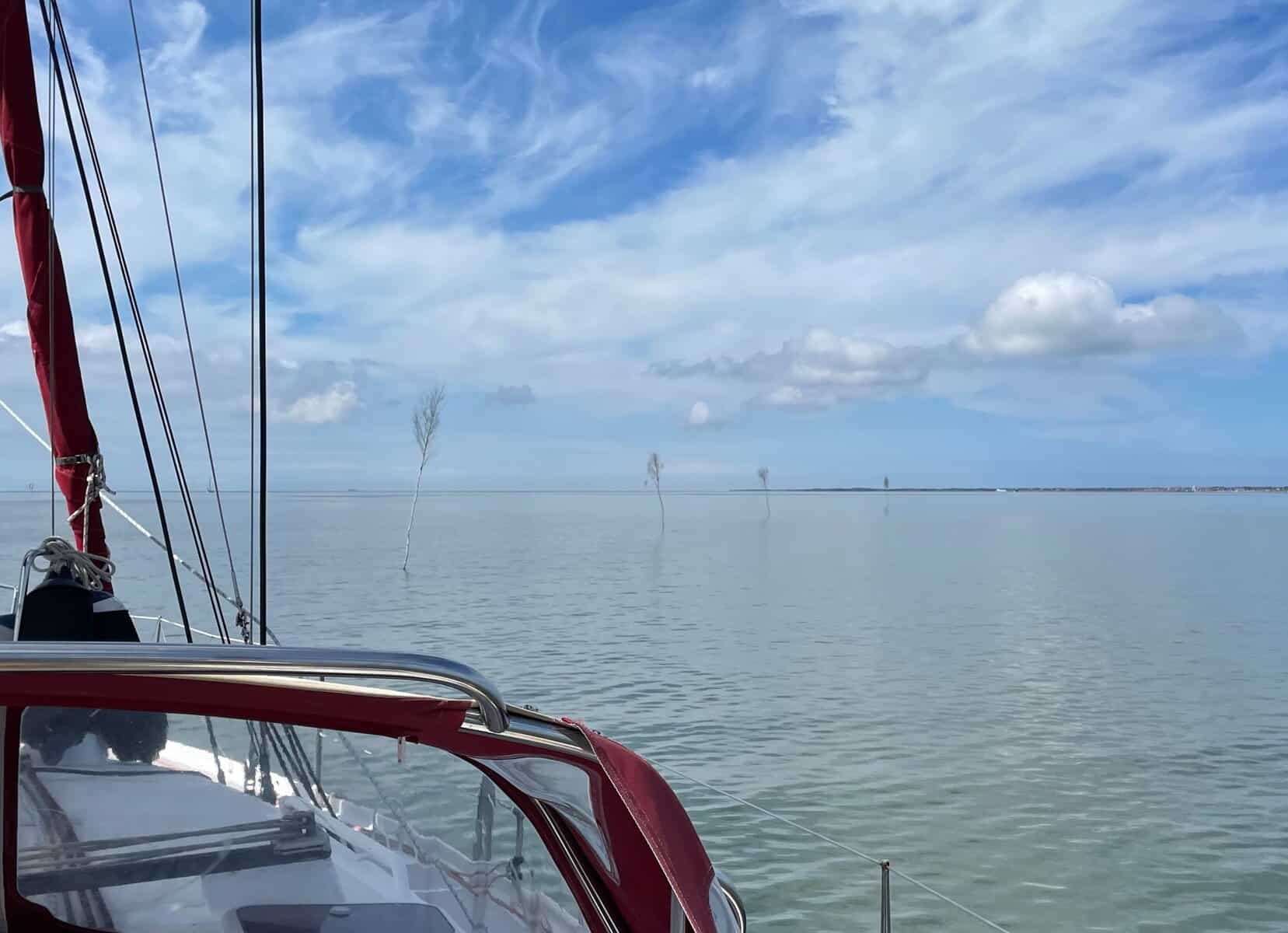
We feel our way gently, often with just 1.5m under the bottom of the boat. So it was rather startling to encounter substantial ferries using the passages. They must have very shallow drafts.
Juist
After another passage following the withies, we came to the island of Juist. Juist is long and very thin. In the years 1715 to 1892 it was split into two islands and the early churches now lie under the sea.
Juist is another car-free island. As in other car-free islands, hotels and apartments leave a supply of handcarts at the port with their name on them, so arrivals can wheel their luggage to their accommodation. Bicycles are the favoured way of getting about.
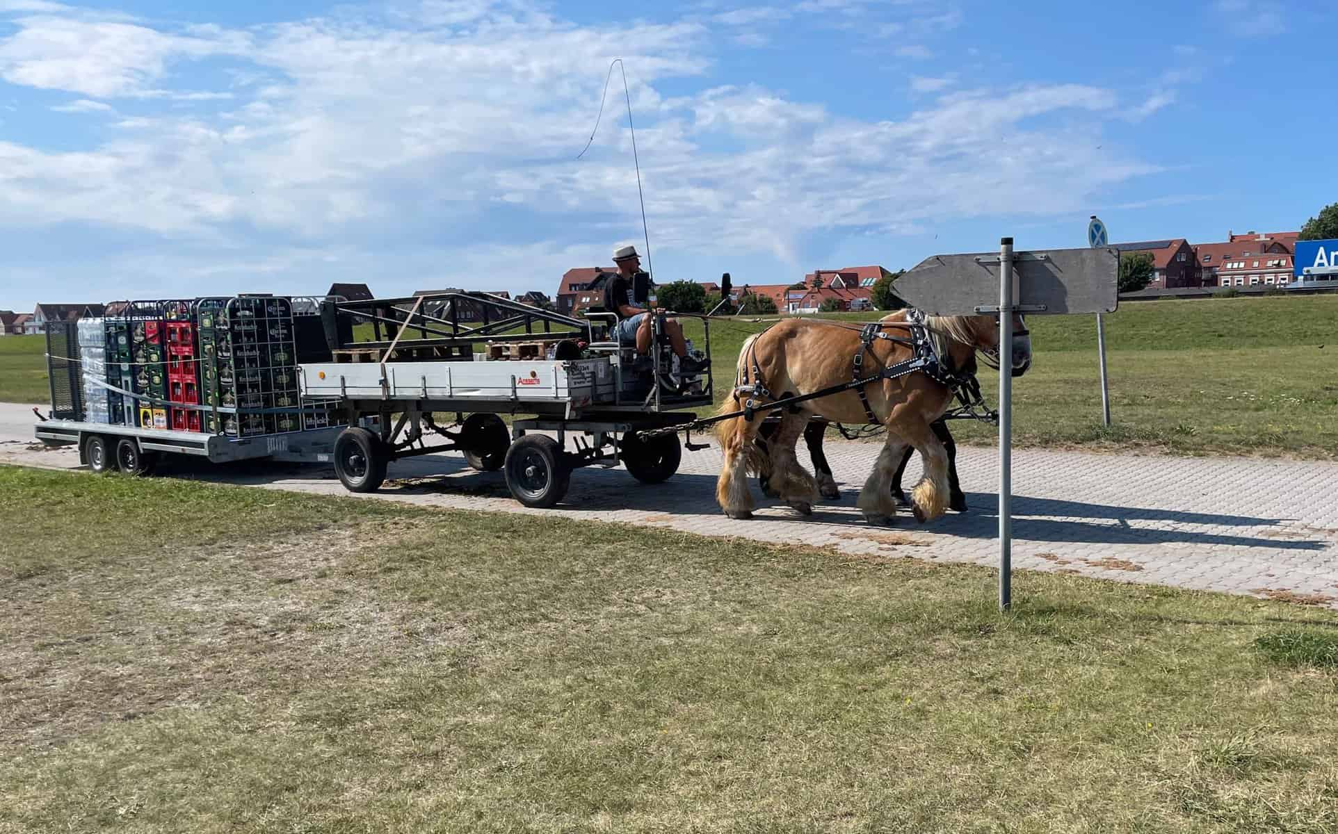
There are also about a dozen carriages drawn by pairs of carthorses. They are everywhere, moving people, supplies, goods, rubbish and recycling. We noted a washing machine being so transported. Even the streets in the centre of town are covered with horse droppings, so you have to pick your way carefully – much as it would have been in earlier times.
Borkum
From Juist it was another sail mostly along the withies to Borkum. Borkum is the western-most of the German islands and lies in the entrance to the Emms estuary, which here forms the border between Germany and The Netherlands.
The ports on Borkum are at the southern tip of the island. It is over 7km into town. There is a railway and busy road, as Borkum allows cars, although the town is mostly car free. We cycled.
Today, Baltrum is another holiday resort but feels very different to the other islands. There are many large hotels on the front and the crowded main streets are lined with shops selling souvenirs as well as fish, wurst and chips and the like.
From Borkum we will cross the Emms into Dutch waters.
That’s our news from the East Friesian Islands.
Ynskje & Tony xx
Fascinating! What an interesting part of the world. Much love x
How very interesting. What a great thing to have done. Just so different. How did you moor when you stopped at the islands. Were there places for you to easily get ashore? The withies sound lovely but, i imagine somewhat confusing.